The Geyserland Mega #
The Mega is the longest of our Geyserland Bikepacking Adventures, taking you all the way out from Rotorua to the west coast near Marakopa, and back to Rotorua again. This route covers some amazing background roads, as well as the best part of the Timber Trail and some little-known routes to connect the Waikato River Trail and the Timber Trail:
Note: For 2023, roadworks on SH1 require some changes to the course on day 1 and day 5. I’ve updated the maps below to include these changes.
Day 1: Rotorua to Kakaho Campsite #
| Option | Description | Distance | Climbing | More Info |
|---|---|---|---|---|
| Regular | Take Te Kopia Road and backroads to Tihoi | 120 km | 1,900 m | Route Map |
| Hard | More riding through Reporoa and Waikite Valley | 162 km | 2,350 m | Route Map |
Day 2: Kakaho Campsite to Piopio #
| Option | Description | Distance | Climbing | More Info |
|---|---|---|---|---|
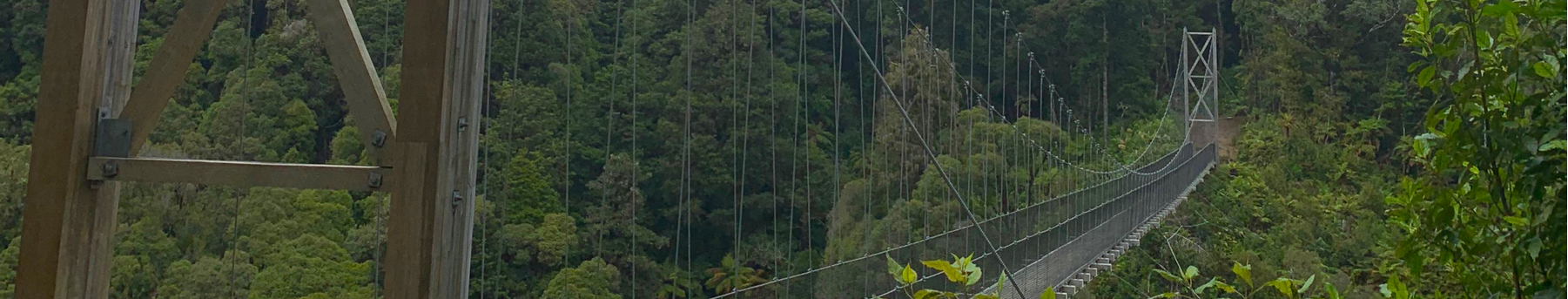
| Regular | Link Road and Half Timber Trail | 127 km | 1,900 m | Route Map |
| Hard | Full Timber Trail | 172 km | 2,500 m | Route Map |
Day 3: Piopio to Waitomo #
| Option | Description | Distance | Climbing | More Info |
|---|---|---|---|---|
| Regular | Gravel roads to Marakopa, then on to Waikomo | 110 km | 1,800 m | Route Map |
| Hard | Extra loop north to Kawhia Harbour | 154 km | 2,700 m | Route Map |
Day 4: Waitomo to Mangakino #
| Option | Description | Distance | Climbing | More Info |
|---|---|---|---|---|
| Regular | Pass through Te Kuiti and Pureora Village | 123 km | 1,700 m | Route Map |
| Hard | Adds an extra loop south of Te Kuiti | 163 km | 2,300 m | Route Map |
Day 5: Mangakino to Rotorua #
| Option | Description | Distance | Climbing | More Info |
|---|---|---|---|---|
| Regular | Waikato River Trail to Atiamuri, Waikite Valley | 92 km | 1,000 m | Route Map |
| Hard | Waikato River Trail to Arapuni, then up to Mamaku | 120 km | 1,700 m | Route Map |